
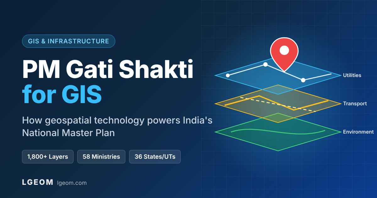
PM Gati Shakti for GIS
How Geospatial Technology Is Powering India's National Infrastructure Master Plan
India builds roads, railways, pipelines, power lines and ports at record speed. For decades, though, each department planned on its own, so a newly laid road was often dug up again for a gas pipeline or an optical fibre cable. PM Gati Shakti National Master Plan (PMGS-NMP) changes that by putting every infrastructure asset, proposal and constraint onto a single GIS platform. Five years after its launch, it has become a clear example of GIS driving planning, approvals and monitoring at a national scale.
What is PM Gati Shakti?
PM Gati Shakti National Master Plan for Multi-modal Connectivity was launched on 13 October 2021. It is a GIS-based digital master plan backed by an institutional framework. It is not a funding scheme: projects are still financed by the respective ministries and states, but they are planned together on one common geospatial platform.
- Technology partner: BISAG-N (Bhaskaracharya National Institute for Space Applications and Geo-informatics), Gandhinagar, under MeitY
- Stakeholders: 58 Central Ministries/Departments and all 36 States/UTs
- Governance: Empowered Group of Secretaries (EGoS), Network Planning Group (NPG) and Technical Support Unit (TSU)
- Base data: ISRO satellite imagery, cadastral maps, and administrative and thematic layers
Role of GIS in PM Gati Shakti
GIS is the foundation of Gati Shakti. It stacks location-tagged data such as roads, railways, forests, rivers, land use, utilities and population as layers on one map, so conflicts and overlaps show up before construction begins.
Multi-Layer Visualization
Existing and proposed infrastructure from every ministry appears on one integrated map, giving planners a full view of the area.
Alignment Planning
Optimal routes for roads, rail, pipelines and transmission lines that avoid forests, wildlife zones, water bodies and settlements.
Satellite Integration
ISRO and high-resolution imagery for ground-truthing, change detection and monitoring of project progress.
Spatial Analysis & Clearances
Buffer, proximity and overlay analysis to check forest, environmental and land-acquisition issues early.
The 6 Pillars of Gati Shakti, Enabled by GIS
| Pillar | What It Means | How GIS Enables It |
|---|---|---|
| Comprehensiveness | All existing and planned initiatives in one place | A centralized geodatabase with layers from every ministry |
| Prioritization | Departments rank projects through cross-sector interaction | Gap analysis shows unconnected clusters and missing links |
| Optimization | Identify critical gaps and the best routes | Network and route analysis by cost, time and distance |
| Synchronization | Ministries work together instead of in silos | A shared map shows overlapping project timelines and corridors |
| Analytical | Data-backed decisions with spatial tools | Suitability, overlay and impact analysis on the platform |
| Dynamic | Monitor progress and course-correct in real time | Satellite and field-data updates on project dashboards |
GIS Data Layers in the National Master Plan
One Map, Many Departments
The power of Gati Shakti comes from standardized, interoperable GIS layers. States must integrate a set of mandatory layers prescribed by DPIIT and then add sector-specific ones. Typical layer groups include:
- Administrative: state, district, taluka and village boundaries, and cadastral parcels
- Transport: national and state highways, railways, ports, airports and inland waterways
- Utilities: gas pipelines, power transmission lines, optical fibre (BharatNet) and telecom towers
- Environment: forests, eco-sensitive zones, wildlife sanctuaries, rivers, wetlands and CRZ
- Economic: industrial parks, SEZs, logistics parks, mining areas and agricultural clusters
- Social: schools, hospitals, Anganwadis, population and habitation data
💡 Example: Planning a New Gas Pipeline Route
A planner draws a proposed pipeline alignment on the Gati Shakti GIS platform. The system immediately overlays forest boundaries, highways, rail crossings, existing pipelines and settlements and flags every conflict. It reports how many villages and survey numbers the route passes through, where forest clearance is needed, and where the route can share a corridor with an existing highway. A study that once took months of field visits and inter-department letters now takes a few hours of desk analysis.
LGEOM Case Study: Underground Pipeline Mapping for GSFC, Vadodara
Recently Completed ProjectLGEOM recently completed underground pipeline mapping for Gujarat State Fertilizers & Chemicals Ltd. (GSFC), Vadodara. The final deliverable was a Gati Shakti-ready GIS geodatabase of GSFC's underground pipeline network, ready to upload to the PM Gati Shakti portal. Industrial sites like GSFC have dense networks of buried pipelines carrying process fluids, gas, water and utilities. These networks are critical assets, but they are often recorded only in old drawings or not recorded at all, so they never show up on a national planning map.
Underground Detection
Buried pipelines were traced and located in the field to capture their true alignment, not just what old drawings showed.
Accurate Geo-Referencing
Every pipeline segment and feature was recorded with precise coordinates in a standard coordinate system.
GIS Layer Creation
Field data was converted into clean, attribute-rich GIS layers with pipeline details stored for each segment.
Geodatabase for Portal Upload
All layers were compiled into a structured geodatabase in the format the PM Gati Shakti portal requires, ready for GSFC to upload.
✅ Why It Matters
Once this geodatabase is uploaded to the Gati Shakti platform, any future road, rail, power or utility project near the Vadodara complex can detect pipeline crossings and conflicts at the planning stage. That reduces the risk of accidental damage during excavation, speeds up approvals and gives GSFC an accurate digital record of its buried assets for maintenance and safety planning.
Key Benefits
Faster Project Approvals
- Early detection of clearance issues
- Fewer inter-department delays
- Shorter DPR preparation
Lower Logistics Cost
- Multi-modal connectivity planning
- Last-mile gap identification
- Optimized freight corridors
Data-Driven Decisions
- Site suitability analysis
- Route and alignment optimization
- Evidence-based prioritization
Minimal Ecological Impact
- Avoids forests and sensitive zones
- Reduces land acquisition
- Supports sustainable planning
Typical GIS System Architecture for Gati Shakti Integration
Departments, PSUs and private companies that want to align their own GIS with the Gati Shakti ecosystem usually build a stack like this:
| Layer | Example Technologies |
|---|---|
| Frontend / Web GIS | React, OpenLayers, Leaflet, ArcGIS Maps SDK for JavaScript |
| Backend / APIs | Node.js / NestJS, Python, REST and OGC services |
| Spatial Database | PostgreSQL + PostGIS, MSSQL Spatial, File/Enterprise Geodatabase |
| Map Server | GeoServer, ArcGIS Server (WMS, WFS, WMTS services) |
| Data Sources | Satellite imagery, DGPS/drone surveys, cadastral maps, IoT/SCADA, ERP (SAP) |
Industry Use Cases
Oil & Gas and Industrial Pipelines
Route selection, RoU/ROW planning, crossing identification with highways and railways, survey-number-wise land acquisition mapping, and underground pipeline mapping inside industrial complexes, with Gati Shakti-ready geodatabases like the one LGEOM recently prepared for GSFC, Vadodara.
Roads & Railways
Alignment studies, gap analysis for economic clusters, multi-modal hub planning and coordination of utility shifting.
Power & Telecom
Transmission line corridors, substation siting, optical fibre and tower planning along existing road corridors.
Industrial & Logistics Parks
Site suitability by proximity to ports, rail, highways, power and water; supports investment-ready land banks.
State & District Master Plans
States run their own Gati Shakti portals, and district-level master plans extend the approach to local planning.
Challenges in Implementation
- Data Quality & Updating: Many layers are outdated, incomplete or digitized at different scales.
- Coordinate System Mismatch: Different SRIDs and projections (WGS84, UTM, local systems) cause misaligned layers.
- Legacy Records: Cadastral maps and asset registers are still on paper or in CAD/PDF and need careful georeferencing.
- Interoperability: Department GIS, ERP and SCADA systems must follow common OGC standards to share data.
- Capacity Building: Field officers and planners need training to use GIS tools effectively.
The Future of Gati Shakti and GIS
GIS is the Backbone of Gati Shakti
PM Gati Shakti shows that infrastructure planning is no longer only an engineering exercise; it is a geospatial exercise. Organizations that keep their assets, land records and project data in clean, standardized GIS will move faster, gain approvals sooner and get more from the national master plan.
At LGEOM, we help government departments, PSUs and industries digitize assets, map underground utilities, build Web GIS platforms, run GIS-enabled drone surveys and manage land acquisition, so your data is ready for Gati Shakti. Our recent underground pipeline mapping and Gati Shakti geodatabase for GSFC, Vadodara is one example of preparing hidden industrial assets for the national master plan.